Getting Around Adelaide in 2026: Trams, Trains and Free City Buses
How Adelaide moves — one of Australia's most car-centric cities is improving its public transport.
How Adelaide moves — one of Australia's most car-centric cities is improving its public transport.

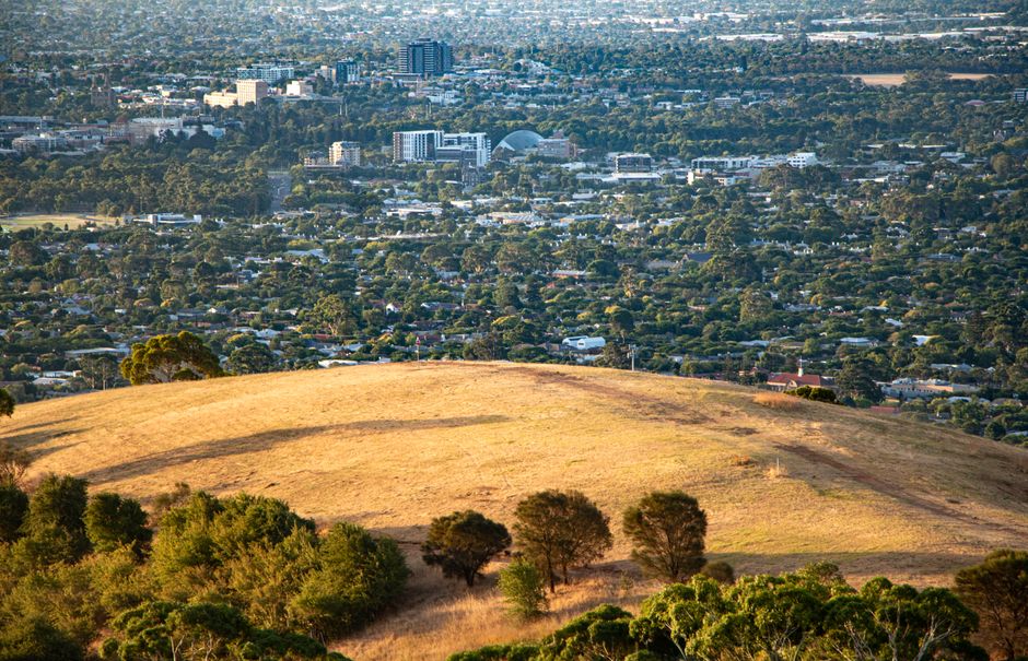
Adelaide is often described as one of Australia's most car-dependent cities. But the city has invested in public transport and the network is more functional than its reputation suggests, particularly for inner-city travel. Here is a practical guide to getting around.
The Adelaide tram network connects the city centre with Glenelg on a direct line that passes through the CBD and runs alongside Morphett and King William Streets. The Glenelg line is a genuine transit corridor. Recent extensions north through the city have improved the tram's coverage of the CBD. The tram is free within the city centre free zone.
The Bee Line (bus 98C/99C) and the City Loop (bus 99A/99B) run free services circulating around the city centre. These buses connect the railway station, bus station, tram terminus, Central Market and other city destinations. The free zone makes it easy to navigate central Adelaide without a car.
Adelaide Metro trains serve the Gawler, Belair, Flinders, Outer Harbor, Seaford and Noarlunga Centre lines from Adelaide Parklands Terminal. Frequency is lower than in the larger eastern capitals, but the network covers the main suburban corridors. The 30-minute frequency on most lines outside peak hour is the main limitation.
Most Adelaide residents drive. The city's grid layout and relatively uncongested roads make driving straightforward by capital city standards. North-south freeways serve the main corridors. Parking in the CBD is managed and requires payment during business hours.
This article was compiled by AI from the sources linked above and screened before publishing. See our editorial standards.
Spread the word
About this article
Published by The Daily Adelaide
Your take
Daily brief
Free, in your inbox before 7am. Weekdays.
More from Adelaide